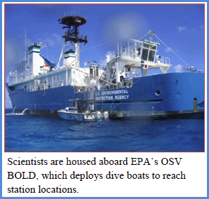
 In partial fulfillment of commitments to the Guánica Bay Watershed Initiative, USEPA performed a coral reef survey along the southwestern coast of Puerto Rico from November 27-December 15, 2010. The EPA dive team, which included divers from EPA Regions 2, 4 and 6, Office of Research and Development, Environmental Response Team and the U.S. Fish and Wildlife Service, performed 432 dives at 73 stations on shallow hardbottom areas along some 50 miles of coast from Cabo Roja to east of Jobos Bay. Survey teams were housed aboard EPA‘s Ocean Survey Vessel (OSV) BOLD, which supports up to 20 scientists and is equipped for Nitrox diving (extending the possible diving time). Small dive boats were deployed daily to reach survey locations.
The primary objective of this survey was to assess the potential impact of sediments and other watershed stressors on coral reef communities. Pollutants, nutrients and litter enter near shore waters through rivers, streams, waste water and storm water runoff. Areas far from the coast can affect the clarity and quality of water flowing to the reef. The Guánica Bay Watershed Initiative is focused on mitigating pollution from agriculture and urban development in the Guánica Bay Watershed . (CLICK PHOTO to enlarge)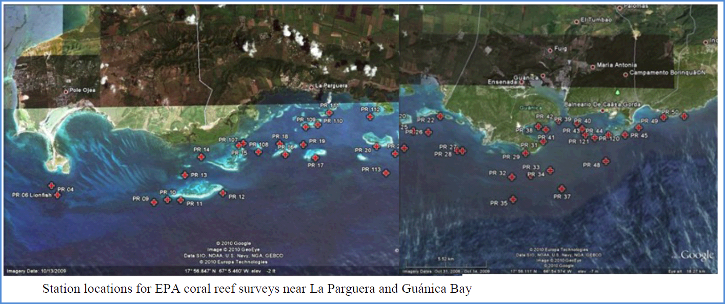 Perhaps one of the biggest challenges confronting coral reef managers is distinguishing
  effects of human activity. One way to evaluate responsiveness is to measure the responses of potential indicators across a gradient of human disturbance. Measurements are made at sampling locations within and progressively removed from an area affected by humans. If human influence is significant, it can alter the responses of indicators that are sensitive to the activity.
EPA used this sampling approach to select site locations that may reflect a gradient of human influence. Efforts were targeted to potential stress from watersheds adjacent to La 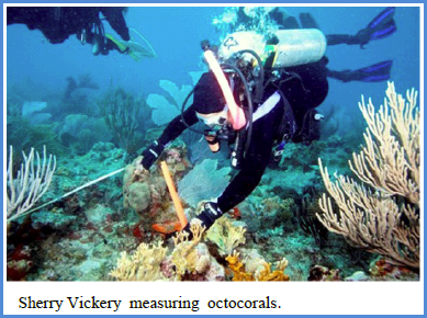 Parguera, Guánica Bay, Guayanilla and Jobos Bay. Sampling locations extend across and beyond the presumed zone of influence.
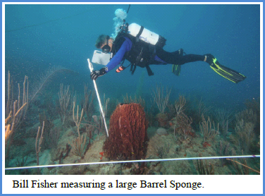
Assessments included measurements of stony corals, octocorals, sponges, fish and megafauna at each location. Because aquatic plants and animals are constantly exposed to the effects of various stressors, these communities reflect not only current conditions, but also stresses and changes in conditions over time and their cumulative impacts.
Divers followed EPA and NOAA protocols. For stony corals, divers took three simple underwater observations (colony identification, size and percent live tissue). Octocorals and sponges were classified by morphology (shape and structure) and measured. Divers counted fish and identified them by species and size class. Photos and videos were used to document the reef communities observed at each station.
Similar surveys have been performed at St. Thomas (USVI) and along inner reefs of La 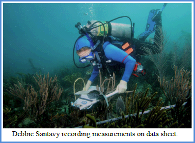 Parguera (2009). Results of this type of survey, called a “human disturbance gradient,” are used for evaluating which indicators successfully detect human disturbance signals over natural variation, and lead to a better understanding of the type and intensity of stressors that impact shallow coral reefs. Once the links between stressor and condition are established, then reasonable controls in the watershed, such as those proposed in the Guánica Bay Watershed Management Plan, can be implemented and monitored for performance.
![]()
